Log in
All resources
Create a design
1,056 Free Images of Coats Of Arms On Maps
bibliothèque nationale de france
maps in the rijksmuseum amsterdam
hendrik de leth
maps by willem and johannes blaeu
maps in the stadsarchief amsterdam
novum ac magnum theatrum urbium belgicae
louis cordier
flag
prints of cartouches in the rijksmuseum amsterdam
baroque
1770s maps of rhineland-palatinate
maps of east palatinate by sanson
lionnois, forest, beauiolois et masconnois (old maps)
maps by willem and johannes blaeu
mappe-monde geo-hydrographique (sanson and jaillot, 1674)
louis cordier
mappe-monde geo-hydrographique (sanson and jaillot, 1674)
louis cordier
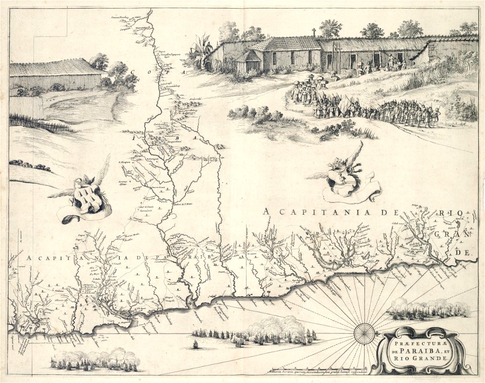
sanson maps of south america
louis cordier
dutch 18th-century drawings in the rijksmuseum amsterdam
gerrit de broen jr. (1692-1774)
maps in the stadsarchief amsterdam
hendrik de leth
maps in the stadsarchief amsterdam
hendrik de leth
maps in the stadsarchief amsterdam
hendrik de leth
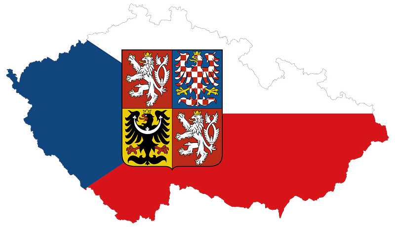
maps
flag
maps
flag
old maps of berbice
hendrik de leth
a map of the british empire in america with the french and spanish settlements adjacent thereto
bibliothèque nationale de france
1631 stadtbrand von isny im allgäu
baroque
old maps of regensburg
baroque
maps of the iberian peninsula by mercator-hondius
maps by pieter van der keere
city walls of vienna
views of vienna
carte de moscovie by guillaume de l'isle (1706)
bibliothèque nationale de france
bibliothèque nationale de france
guillaume sanson
carte de moscovie by guillaume de l'isle (1706)
bibliothèque nationale de france
carte des pays-bas catholiques by guillaume sanson
robert cordier (engraver)
carte de moscovie by guillaume de l'isle (1706)
bibliothèque nationale de france
carte des pays-bas catholiques by guillaume sanson
robert cordier (engraver)
carte de la province de berry (1707) by jaillot
bibliothèque nationale de france
bibliothèque nationale de france
cartouches by tomas lópez
maps in the stadsarchief amsterdam
hendrik de leth
17th-century maps of pembrokeshire
maps by jodocus hondius ii
maps by willem and johannes blaeu
wachtendonk in the 1650s
prints by wenceslaus hollar in the rijksmuseum amsterdam
maps by wenzel hollar
prints in the stadsarchief amsterdam
het zegepralent kennemerlant
maps of the universiteit van franeker
maps in the rijksmuseum amsterdam
maps of the west-indische compagnie
1647
maps in the stadsarchief amsterdam
hendrik de leth
maps in the stadsarchief amsterdam
hendrik de leth
maps of bamberg by braun & hogenberg
bibliothèque nationale de france
maps of dordrecht by braun & hogenberg
bibliothèque nationale de france
maps of aalst by braun & hogenberg
peter von brachel
territorium argentoratense (1652 map)
bibliothèque nationale de france
maps of rügen by eilhard lubinus
bibliothèque nationale de france
maps of huy by braun & hogenberg
bibliothèque nationale de france
maps of switzerland by johann jakob scheuchzer
maps in the rijksmuseum amsterdam
maps of switzerland by johann jakob scheuchzer
maps in the rijksmuseum amsterdam
maps of switzerland by johann jakob scheuchzer
maps in the rijksmuseum amsterdam
maps by isaak tirion
old maps of haarlem
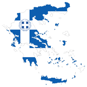
maps
flag
works after map of amsterdam, 1544
maps in the rijksmuseum amsterdam
bibliothèque nationale de france
guillaume sanson
sanson maps of the circles of germany
bibliothèque nationale de france
le royaume de france distingué by guillaume sanson
1708 maps of france
magni ducatus lithuaniae
radziwiłł (surname)
context files from gallica
history of rügen
maps by nicolas sanson
1720s maps of france
mappe-monde by guillaume delisle (18th century)
claude auguste berey
mappe-monde by guillaume delisle (18th century)
1700s maps of the world
17th-century maps of the spanish empire
maps of the spanish netherlands
bibliothèque nationale de france
maps by thomas kitchin
prints by pieter van den berge in the rijksmuseum amsterdam
maps in the rijksmuseum amsterdam
maps of béthune by braun & hogenberg
bibliothèque nationale de france
maps of provence by pierre-jean de bompar
bibliothèque nationale de france
maps of béthune by braun & hogenberg
bibliothèque nationale de france
media from regionaal archief alkmaar
geestmerambacht
maps of lake geneva by jacques goulart
bibliothèque nationale de france
maps of munich by joris hoefnagel
bibliothèque nationale de france
1750s maps of the netherlands
hendrik de leth
maps by willem and johannes blaeu
wachtendonk in the 1650s
1640s maps of ireland
baroque
maps by john rocque
wilton house
old maps of groningen (city)
egbert haubois
prints of cartouches in the rijksmuseum amsterdam
maps in the rijksmuseum amsterdam
map of the circle of lower saxony by sanson
bibliothèque nationale de france
maps of the course of the rhine by guillaume sanson
bibliothèque nationale de france
bibliothèque nationale de france
cartouches by tomas lópez
bibliothèque nationale de france
guillaume sanson
flemish prints in the british museum
prints by jacob de gheyn (ii)
flemish prints in the british museum
prints by jacob de gheyn (ii)
maps of aachen by braun & hogenberg
bibliothèque nationale de france
maps of portugal by fernando álvares seco
bibliothèque nationale de france
maps of andalusia by mercator-hondius
bibliothèque nationale de france
maps of huy by braun & hogenberg
bibliothèque nationale de france
collection cartographic documents from het utrechts archief
laurens praalder
maps in the rijksmuseum amsterdam
old maps of vlissingen
maps in the rijksmuseum amsterdam
old maps of arnemuiden
maps in the library of congress
1700s maps of ukraine
maps by pieter mortier
le neptune francois
maps in the rijksmuseum amsterdam
maps by isaak tirion
maps in the rijksmuseum amsterdam
bequest of f.g. waller
bibliothèque nationale de france
1698 map of evesché de meaux
maps of the course of the rhine by guillaume sanson
bibliothèque nationale de france
maps by thomas kitchin
maps of wales
collection cartographic documents from het utrechts archief
laurens praalder
bibliothèque nationale de france
maps of limousin by jean fayen
maps of portugal by fernando álvares seco
bibliothèque nationale de france
maps in the rijksmuseum amsterdam
rauwerderhem
drawings by jacob toorenvliet in the rijksmuseum amsterdam
pen and ink drawings in the rijksmuseum amsterdam
maps in the rijksmuseum amsterdam
17th-century maps of south asia
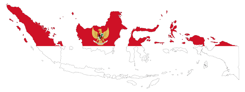
maps
flag
carta hydrographica y chorographica de las yslas filipinas
baroque painting
novum ac magnum theatrum urbium belgicae
maps in the rijksmuseum amsterdam
bibliothèque nationale de france
johannes le francq van berkhey
1830s maps of puerto rico
nathaniel currier
701 - 800 of 1,056
Next page
/ 11